Monitoring Drought with Forest Radar
Funding Year: 2018
Research Areas: Climate
Regions: North America
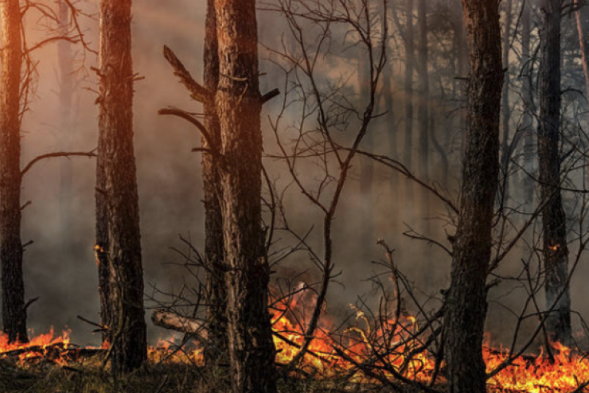
Droughts can cause dramatic increases in large-scale tree mortality and fire fuel aridity in forests. To manage risk, forest managers need to know the water content of tree canopies, but remote sensing based solutions are either not available from space or have too coarse a spatial resolution.
Stanford researchers will test an upward-facing ground-based radar system - previously used to monitor ice sheets at the Jasper Ridge Biological Preserve to see if it can be used to measure water content. This technology could eventually be used for distributed monitoring networks operated by the US Forest Service or other organizations to better understand fire risk.
Learn more about the Environmental Venture Projects grant program and other funded projects.
Principal Investigators:
Alexandra Konings, Professor of Earth System Science
Dustin Schroeder, Professor of Geophysics and by courtesy, Professor of Electrical Engineering
Related News
The Stanford Woods Institute for the Environment has awarded ten proposals as part of its 2018 Environmental Venture Projects (EVP) and Realizing Environmental Innovation Program (REIP) grants.


